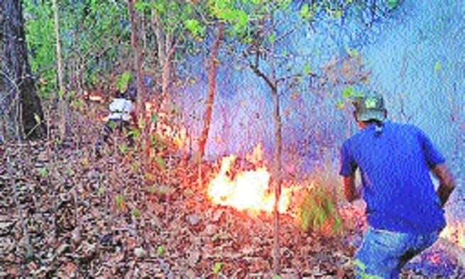
Forest fire ‘Fire sensitivity map’ helps PTR identify cause
06 Dec 2024 11:18:27

By Kaushik Bhattacharya :
Taking a leap forward in wildlife conservation and forest fire management, the Pench Tiger Reserve (PTR) has prepared a fire sensitivity map to curb forest fires.
For this study, forest type mapping employed the Landsat 8 Satellite imagery data, which was free from cloud cover. Supervised classification technique was used for land use land cover classification of study area. It also used the fire alerts of FSI from 2014 -2020 in the forest area.
“Village is one of the important factors, which plays an important role in forest fire as there is a lot of human activity or movement, which can influence forest fire accidents,” Dr Prabhunath Shukla, Field Director, Pench Tiger Reserve told ‘The Hitavada’.
“The PTR management collected all fire incident data that took place in the tiger reserve from 2013 till date. We also collected details of road distance of such fire incident sites, villages nearby and much more to include it in the map,” Dr Shukla said.
“Wildlife poaching is a major factor of forest fire incidents.
We also mapped the poaching incidents that took place till date to identify the cause of fire cases in the jungle,” said the senior officer.
Asked about the relation between poaching and forest fire, Dr Shukla said, “There are many cases that have happened in PTR when poachers ignited fire in the jungle to take revenge from the Forest Department for their arrest. Now, with the help of this map, we can co-relate the fire incidents and poaching cases to find out the reason behind the fire.”
Talking more about the map, the officer said, “Dense and dry vegetation are more susceptible to fire in comparison to moist and sparse one. Moisture content of vegetation delays ignition. Therefore, in this study we also mapped the dry vegetation in the forest which is prone to fire incidents.”
Slope plays a crucial role in fire spreading. With increase in slopes in the jungle, forest fire spread increases because the flame comes in direct contact with the fuel with increase in slope percentage.
With increase in slope accessibility to the fire affected areas become difficult and unreachable after further increase in slope.
Vegetation on smooth, broad slopes tends to burn more completely compared to slopes containing water or cliffs, this interrupted the forward movement of fire, said the senior officer.
Along with this map, PTR management has also adopted an Artificial Intelligence (AI) based ‘fire detection system’ for early detection of forest fires. PTR is the first Tiger Reserve which is using this technology in the country. Apart from PTR, this technology is also in use in Amazon Forest.
“Forest fire is a big threat for the department as it destroys the biodiversity of the forest in a very short time. This technology will help in detecting fire and proactively extinguish it before its spread,” he added.