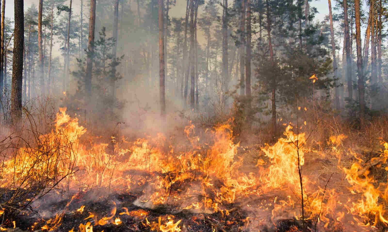
Highest in last 7 years 157 forest fire incidents in just 2 months in State
| Date :25-Feb-2025 |

By Kaushik Bhattacharya :
- Out of 18 active forest fires in Maharashtra till Monday, 12 were active in Gadchiroli and two in Yavatmal districts
- Maharashtra witnessed third highest fire incidents so far in country after Karnataka and Telangana
Maharashtra recorded 157 forest fire incidents this year till date, which is the highest in last seven years, revealed the forest fire monitoring data of Forest Survey of India (FSI) on Monday.
As per the FSI’s portal, the whopping increase of forest fire incidents were recorded between January 1 to February 24 this year with at least 18 forest fires reported in the last 24 hours still in active mode. Whereas, out of these 18 active forest fires, 12 are in Gadchiroli district and two are in Yavatmal district of Vidarbha region.
Forest fires are a regular phenomenon in the country often observed during December to April months.
FSI collects the forest fire data of the country with the help of Moderate Resolution Imaging Spectro-radiometer (MODIS) sensor and Suomi-National Polar-orbiting Partnership - Visible Infrared Imaging Radiometer Suite (SNPP-VIIRS)
As per the data, during January 1 to February 24 last year, only 47 forest fire incidents took place in the State whereas the number was 129 in 2023. No forest fire incidents took place in 2022 during this span whereas 18 such incidents happened in 2021, 51 incidents in 2020 and again no forest fire incidents took place in 2019.
Out of 157 forest fire incidents in Maharashtra, 70 are recorded in Vidarbha region. Amravati district recorded the highest 18 incidents in Vidarbha followed by Gadchiroli (17), Yavatmal (12), Nagpur (8), Chandrapur (6), Buldhana (3), Bhandara (2), Wardha, Washim, Gondia and Akola one each.
Amid this time span, total 1,558 forest fire incidents are recorded all over the country in which Maharashtra is third in the list.
With 311 forest fire incidents, Karnataka is on the top of the list followed by Telangana (217), Maharashtra (157), Andhra Pradesh (156) and Madhya Pradesh (127).
Though Vidarbha region witnessed almost the 50% forest fire incidents in the first two months of this year, Pench Tiger Reserve (PTR) management is setting an example for the country in forest fire management in last few years.
PTR management has prepared a fire sensitivity map to curb such forest fires with the help of Landsat 8 Satellite imagery data.
The PTR management collected all fire incident data that took place in the tiger reserve from 2013 till date. It also collected details of road distance of such fire incident sites, villages nearby and much more to include it in the map.
“We have created forest fire line to prevents the spread of forest fires. We are also sensitising villagers about such fires. In case of a forest fire, villagers inform the department about smokes and also for suspicious activity inside the forest area,” Dr Kishor Mankar, chief conservator of forests and field director, PTR told ‘The Hitavada’.
